GEE Community Catalog Celebrates 4 Years: May 2024 Data Refresh
The community catalog turned 4 this May 8th. Learn about the last release from the Community Catalog and the data updates that have been added to the Catalog all the way till end of May.
Data dives are addictive because you never know what’s been added to the mix and what to even expect. The Awesome GEE Community Catalog completed 4 years this May 8th, that was when I made my first commit. Since then the catalog has managed to grow from just being a Github list to a catalog now serving nearly half a million requests every month and visted by people from over 160+ countries gloabally every month. We have added a lot since the last time you got a release update.
We released v2.6.0 and are on track for v2.7.0 in June and added an additional 16TB+ datasets into the catalog. We are summing up a few of the best ones to let you know what you might have missed and what you might want to check out. You can click on each of the dataset title to take you to their page in the GEE Community Catalog and for the overall list click on the changelog.
If you just want the catalog stats we are at nearly 1925 datasets with over 370TB of curated and collected community datasets in the catalog.
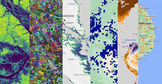
Meta and the World Resources Institute released this during Earth Day as part of their ongoing work on the first Global 1m Resolution Tree Canopy Height. This datasets is massive is perhaps the largest add to the community catalog at 1m resolution,18 million satellite images,1 Trillion+ pixels, 2.8m mean absolute error, 15.24 TB within GEE across 170 Tiles powered by the DiNOv2 model. You can read more about the dataset in Meta's blog here.
fiboa, a new collaboration, tackles farm field data. It builds a standard format for boundaries and linked agricultural data, but goes beyond that. fiboa includes the data itself, ongoing discussions to improve the format, and a growing community. The UK Fields dataset now a publicly accessible Earth Engine asset through the GEE community catalog comprising automatically delineated field boundaries across England, Wales, Scotland, and Northern Ireland. This dataset provides comprehensive field boundary information for the United Kingdom, derived from harmonic composites of Sentinel 2 imagery captured in 2021.
The United States Groundwater Well Database (USGWD) is a comprehensive inventory of groundwater wells in the US. It contains over 14.2 million well records including details like location, depth, construction year and purpose. This data, dating back to 1763, is drawn from state and federal agencies and ensures a clearer picture of how groundwater is accessed and managed across the country.
The dataset provides a comprehensive global map of oil palm plantations, including both industrial and smallholder plots, at a 10-meter resolution using Sentinel-1 data from 2016 to 2021. Additionally, it includes planting year estimates from 1990 to 2021 at a 30-meter spatial resolution derived from Landsat-5, -7, and -8 imagery. This dataset aims to support environmental monitoring and policy discussions by offering detailed and up-to-date information on the extent and age of oil palm plantations worldwide.
The ESA Fire Disturbance Climate Change Initiative (CCI) project has produced maps of global burned area derived from satellite observations. The AVHRR - LTDR Pixel v1.1 product described here contains gridded data of global burned area derived from spectral information from the AVHRR (Advanced Very High Resolution Radiometer) Land Long Term Data Record (LTDR) v5 dataset produced by NASA.
DeltaDTM is a global coastal Digital Terrain Model (DTM) with a horizontal spatial resolution of 1 arcsecond (∼30 m) and a vertical mean absolute error (MAE) of 0.45 m overall. It improves upon the accuracy of existing global elevation datasets by correcting Copernicus DEM with spaceborne lidar data from the ICESat-2 and GEDI missions. This correction process involves bias correction, filtering of non-terrain cells (e.g., vegetation and buildings), and gap filling using interpolation. DeltaDTM specifically focuses on low-lying coastal areas (below 10 m above Mean Sea Level) that are particularly vulnerable to sea-level rise, subsidence, and extreme weather events.
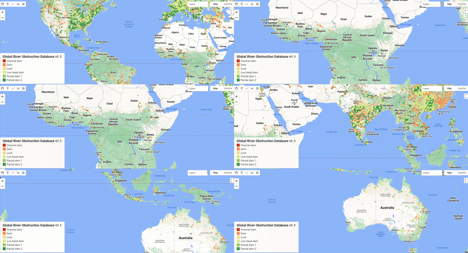
This dataset goes beyond the datasets on Global locations of Dams and Reservoirs and is extremely useful in planning and analysis downstream. Global River Obstruction Database version 1.1, contains 30549 manually identified human-made structures that obstructing river longitudinal flow. Obstructions have been identified on Google Earth Engine satellite map for all rivers mapped in the Global River Widths from Landsat (GRWL) database. Each obstruction has assigned one of the six types—Dam, Lock, Low head dam, Channel dam, Partial dam 1, Partial dam 2.
Let's connect! Reach out on Linkedin and Github to share dataset ideas, provide feedback, and join the conversation.
If you appreciate these efforts, please consider giving the GitHub repository a star ⭐️This simple gesture helps increase the visibility of our work and spreads awareness about the community catalog.
As always check the changelog for direct links and more updates.💡 Help out and become a sponsor of the community catalog and join me in building a vibrant community🌍


