Get Your Open Data Fix: What's New in the GEE Community Catalog Release 2.4.0
Explore the latest additions to the Awesome GEE Community Catalog from last month, along with updated catalog stats for release 2.4.0. And a sneak preview of the next exciting dataset coming this week
Last month was a whirlwind of data requests amidst ongoing backend enhancements. Despite the time constraints, we managed over six significant data collection requests alongside continuous updates, some under the hood improvements and bug fixes. In this post, we'll delve into a few dataset highlights, promising more detailed analyses in upcoming articles. A few dataset links and small descriptors are included and we will go into more detailed data deep dives of these and more in following posts so add your email to subscribe to the newsletter if you haven’t.
You can read deep dives into the GLC_FCS30D - Global 30-meter Land Cover Change Dataset (1985-2022) and the Canadian Satellite-Based Forest Inventory (SBFI) in our first post. Read till the end to find out about what’s coming this Thursday.
Our community catalog now boasts nearly 1700 datasets 📊, comprising over 355 TB of data 💾. In the past month alone, we've welcomed over 322 thousand visitors from 156 countries 🌍. You can find the catalog stats here
A valuable resource spanning 2001 to 2020. This dataset provides comprehensive coverage of land surface temperature and near-surface air temperature and achieves global coverage with a high spatial resolution of 30 arcseconds (approximately 1km).
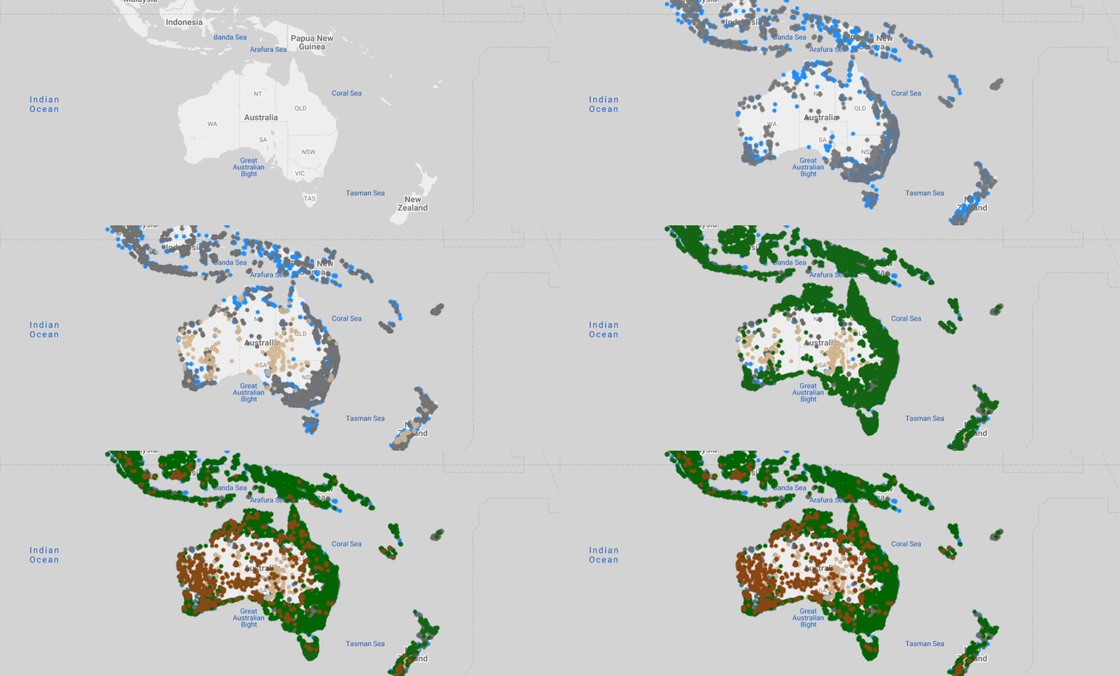
Spanning 1984 to 2020 with medium spatial resolution (30 meters) and up to 23 land cover characteristics per unit. Geographically and spectrally representative of global ecoregions, offering harmonized and comprehensive data on land cover changes over 36 years in select regions.
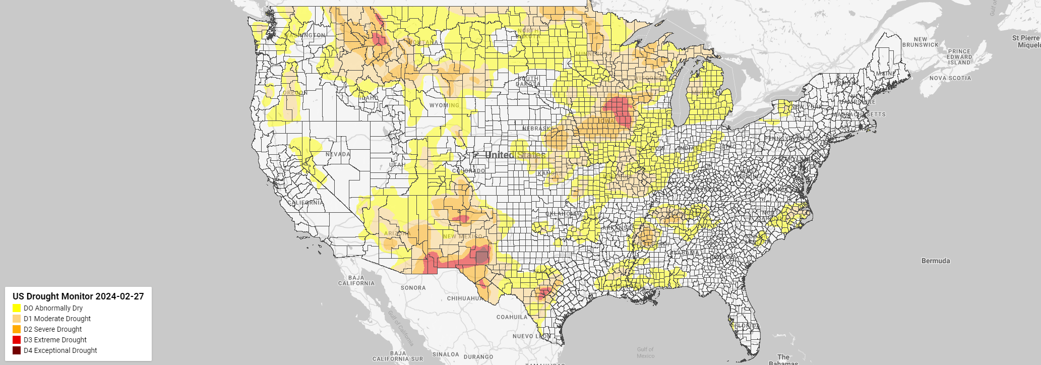
Weekly updates to USDM drought monitor
Yes we consistently maintain the United States Drought Monitor data weekly apart from also updating the Global annual Burned Area Maps(GABAM) to include 2020 and 2021
Coming this Thursday I am releasing the GLOBGM v1.0 Global Groundwater model data at 1km resolution. Get alerted with the deep dive on this, this week and stay tuned for more.


